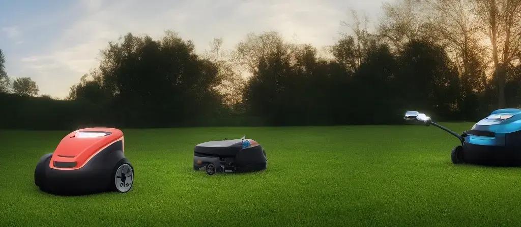
Editor's brief
Automating expansive lawns requires a shift from random patterns to precision RTK GPS and high-capacity batteries. Balancing navigation accuracy with terrain constraints and power management ensures consistent maintenance across properties up to five acres without the manual labor of traditional mowing.
#Robotic mowers
#Lawn automation
#RTK GPS
#Landscaping
Automating large residential properties requires a shift from simple random-bounce algorithms to precision navigation and high-capacity energy systems. In this context, "large residential properties" are defined as those ranging from 0.5 to 5 acres, distinguishing them from commercial landscapes that employ industrial-grade chassis and cutting widths exceeding 20 inches. Evaluating these systems rests on three key performance indicators: cutting width, battery runtime per charge cycle, and navigation precision—specifically the ability to maintain centimeter-level accuracy across expansive terrain. Analysis of Navigation Technologies for Expansive Areas Navigation for large residential environments is primarily divided between satellite-based, wire-based, and sensory-based systems. Real-Time Kinematic (RTK) GPS is the current standard for wire-free precision. By utilizing a fixed base station and satellite data, it provides centimeter-level positioning. This removes the need for perimeter wires and eliminates the inefficient "random bounce" patterns common in entry-level models. However, RTK systems are susceptible to multipath interference, where GPS signals reflect off buildings or dense foliage, potentially causing navigation failure. Traditional perimeter wire systems remain a reliable alternative for areas with heavy tree canopies that obstruct GPS signals. While these offer high signal stability, installation for a 5-acre property is labor-intensive and often requires ex...
Automating large residential properties requires a shift from simple random-bounce algorithms to precision navigation and high-capacity energy systems. In this context, "large residential properties" are defined as those ranging from 0.5 to 5 acres, distinguishing them from commercial landscapes that employ industrial-grade chassis and cutting widths exceeding 20 inches. Evaluating these systems rests on three key performance indicators: cutting width, battery runtime per charge cycle, and navigation precision—specifically the ability to maintain centimeter-level accuracy across expansive terrain.
Analysis of Navigation Technologies for Expansive Areas
Navigation for large residential environments is primarily divided between satellite-based, wire-based, and sensory-based systems. Real-Time Kinematic (RTK) GPS is the current standard for wire-free precision. By utilizing a fixed base station and satellite data, it provides centimeter-level positioning. This removes the need for perimeter wires and eliminates the inefficient "random bounce" patterns common in entry-level models. However, RTK systems are susceptible to multipath interference, where GPS signals reflect off buildings or dense foliage, potentially causing navigation failure.
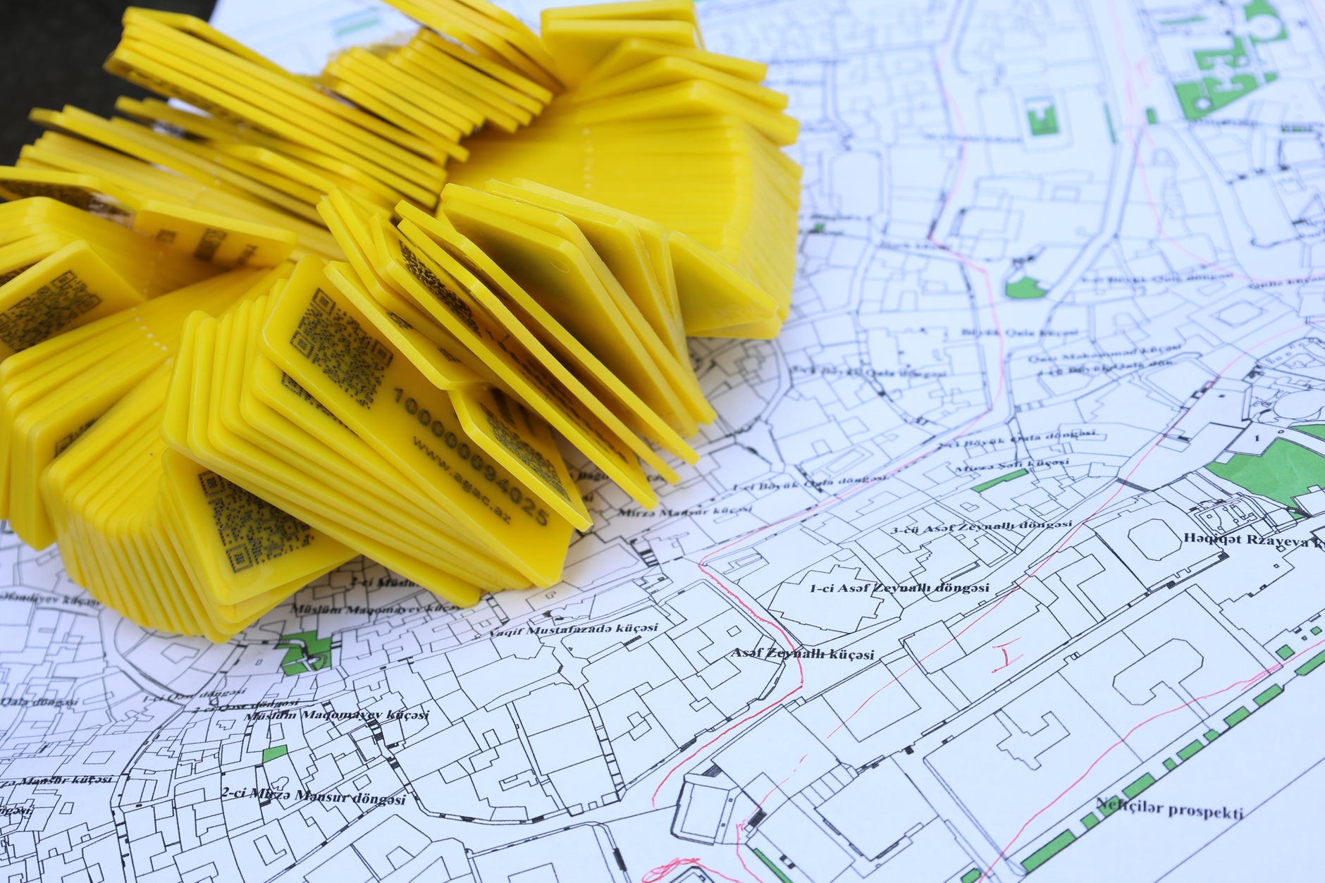
Traditional perimeter wire systems remain a reliable alternative for areas with heavy tree canopies that obstruct GPS signals. While these offer high signal stability, installation for a 5-acre property is labor-intensive and often requires extensive trenching. To mitigate the weaknesses of both approaches, some high-end models integrate vision-based or LiDAR (Light Detection and Ranging) navigation. These hybrid systems use cameras and light pulses to map the environment, acting as a failsafe in "urban canyons" or heavily wooded zones where satellite lock is intermittent. The choice between RTK and perimeter wires is ultimately a trade-off between installation effort and operational flexibility.
Battery Capacity and Energy Management Mechanisms
Powering a robot across several acres necessitates high-capacity Lithium-ion (Li-ion) batteries, measured in Ampere-hours (Ah). Higher Ah ratings are critical for maintaining consistent torque across large surface areas and reducing the frequency of return-to-base cycles. Because larger mowers often employ larger diameter blades to increase efficiency, they experience a higher energy draw per rotation, which requires more sophisticated power management to maintain battery longevity.

Charging infrastructure also influences operational efficiency. The distance from the automatic charging station to the furthest perimeter point determines "deadhead" time—the period the robot spends traveling without cutting. Climate also plays a role; extreme heat or freezing temperatures can accelerate battery degradation over 2–3 seasons, making integrated thermal management a necessary specification for models operating in volatile environments. For properties exceeding two acres, the placement of the charging dock is as critical to performance as the battery capacity itself.
Top-Tier Robotic Mowers for Large Properties
- Husqvarna Automower 450X/550 EPOS: These models utilize the Exact Positioning Operating System (EPOS), a satellite-based system that allows for wire-free operation. By integrating multiple GPS satellite constellations, they achieve the precision required for complex, high-acreage layouts via a proprietary ecosystem that prioritizes accuracy over setup simplicity.
- Mammotion LUBA 2 AWD: This system employs a dual-vision and RTK-GPS hybrid. Its primary technical advantage is the All-Wheel Drive (AWD) system, which provides the traction necessary for the slopes and uneven terrain common in expansive yards. The vision-based failsafes make it more resilient to multipath interference than pure RTK systems.
- Worx Landroid L (Large): Unlike the previous two, the Landroid L relies on a perimeter-wire system, making it the optimal choice for users prioritizing signal stability in heavily wooded areas. It offers high-capacity batteries designed for properties up to 1 acre, though it lacks the installation ease and boundary flexibility of RTK-GPS models.
Implementation Limitations and Site Constraints
Hardware specifications cannot override physical site constraints. Most large-scale residential robots are rated for slope gradients between 25% and 45%; exceeding these limits results in traction loss or tipping, regardless of whether the unit uses AWD or RTK navigation. Connectivity is another critical dependency, as stable Wi-Fi or 4G/5G LTE is required for remote management and for the RTK base station to communicate with the mower across long distances.

Terrain variance further dictates the operational scope. Standard robotic mowers are designed for manicured turf and cannot handle tall weeds or thick brush. Properties with "rough acreage" require a manual rough-cut to bring the grass to a manageable height before the robot can operate. Maintenance is also rigorous; to maintain cut quality, blade discs typically require replacement every 20–30 operating hours. While the cutting process is automated, this mechanical upkeep is essential to prevent motor strain and ensure a clean finish.
Glossary
| Term | Description |
|---|---|
| deadhead | Non-productive travel time or distance spent moving from one location to another without performing useful work. |
| LiDAR | A remote sensing method that uses pulsed laser light to measure distances and generate precise three-dimensional maps of an environment. |
| multipath interference | An error in wireless or satellite signal reception caused by signals bouncing off physical surfaces, such as buildings or trees, before reaching the receiver. |
| Real-Time Kinematic (RTK) GPS | An advanced satellite navigation technique that uses a fixed reference station to correct positioning errors, achieving centimeter-level accuracy. |

I'm Kaori Nishimura from Japan. My path through Electrical Engineering has been anything but linear—after 11 years in the field, I've grown into someone who enjoys exploring automotive and gadget reviewer with a mix of curiosity and lived experience.